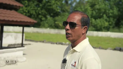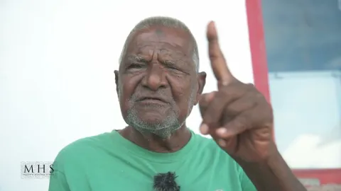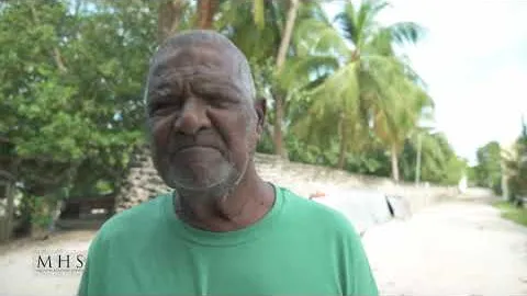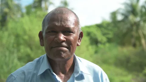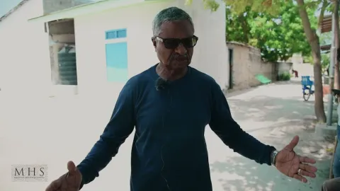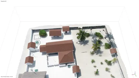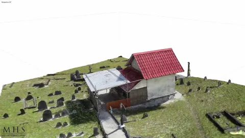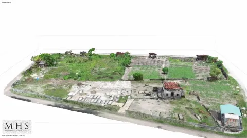
This short video, taken and edited by members of the field team, presents an informal look at their daily work on the island of Maarandhoo in Haa Alifu Atoll. The MAHS field teams uses digital technologies including GIS, RTK mapping, aerial and terrestrial LiDAR, digital photography, 3D modeling, video, CAD and IIIF standard manuscript digitizations to produce robust records in on online archive for the benefit of historians, local communities, governments, and heritage management professionals. The project is led by R. Michael Feener at the Kyoto University Center for Southeast Asian Studies. All records and other digital heritage assets produced by and/or integrated into the MAHS are made open-access available online here and permanently archived in the library systems of Kyoto University and the University of Oxford. The Maritime Asia Heritage Survey is funded by a grant from Arcadia, a charitable fund of Lisbet Rausing & Peter Baldwin.
For open-access to our complete dataset of archaeological sites and historical artifacts and other resources on Maldivian history, pease visit us at: https://maritimeasiaheritage.cseas.kyoto-u.ac.jp
- 部局
- 分野
- タグ